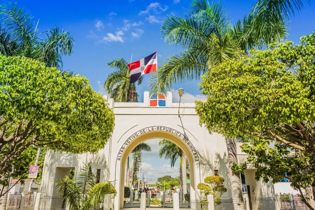

Gateway to the homeland!
About Dajabón
A province with a unique identity, shaped by history, geography and the border spirit of its people.
- Area
- ~1,020 km²
- Municipalities
- 5
- Founded
- 1776
- From Santiago
- 2.5 h
Geography
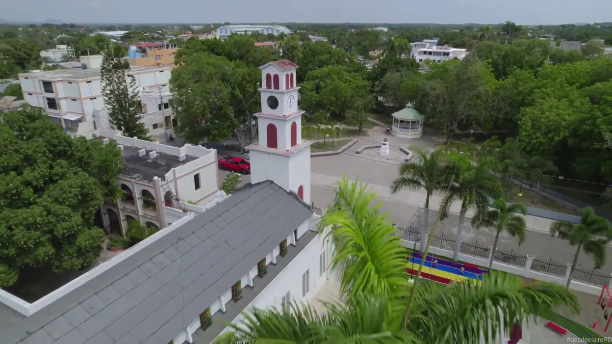
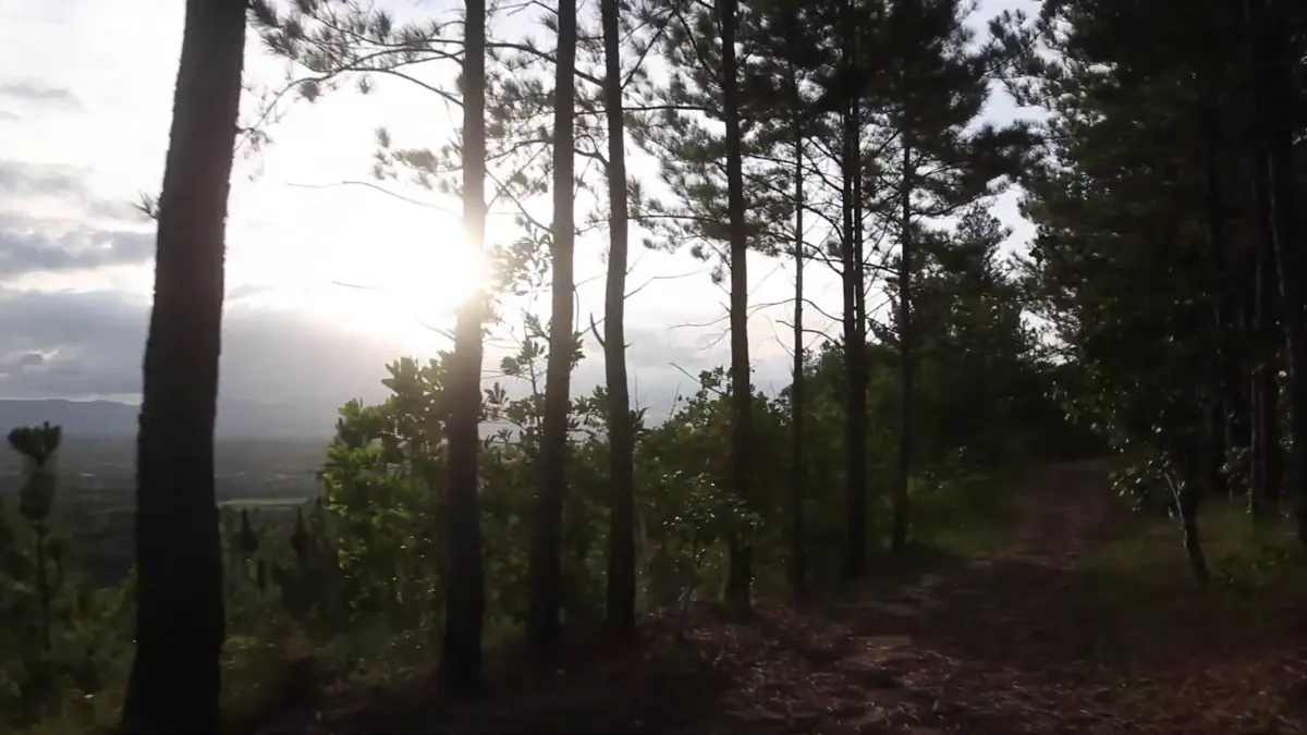
Dajabón is located in the northwest of the Dominican Republic, bordering Haiti. The Dajabón River (Massacre River) forms the natural border. The province features plains, valleys and access to the Central Mountain Range.
History
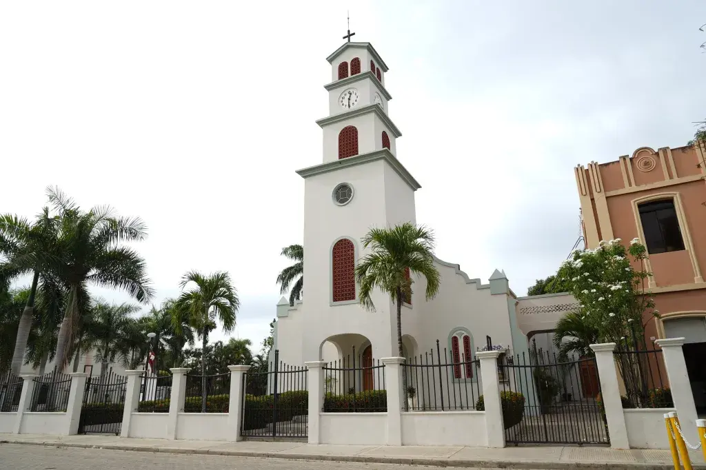
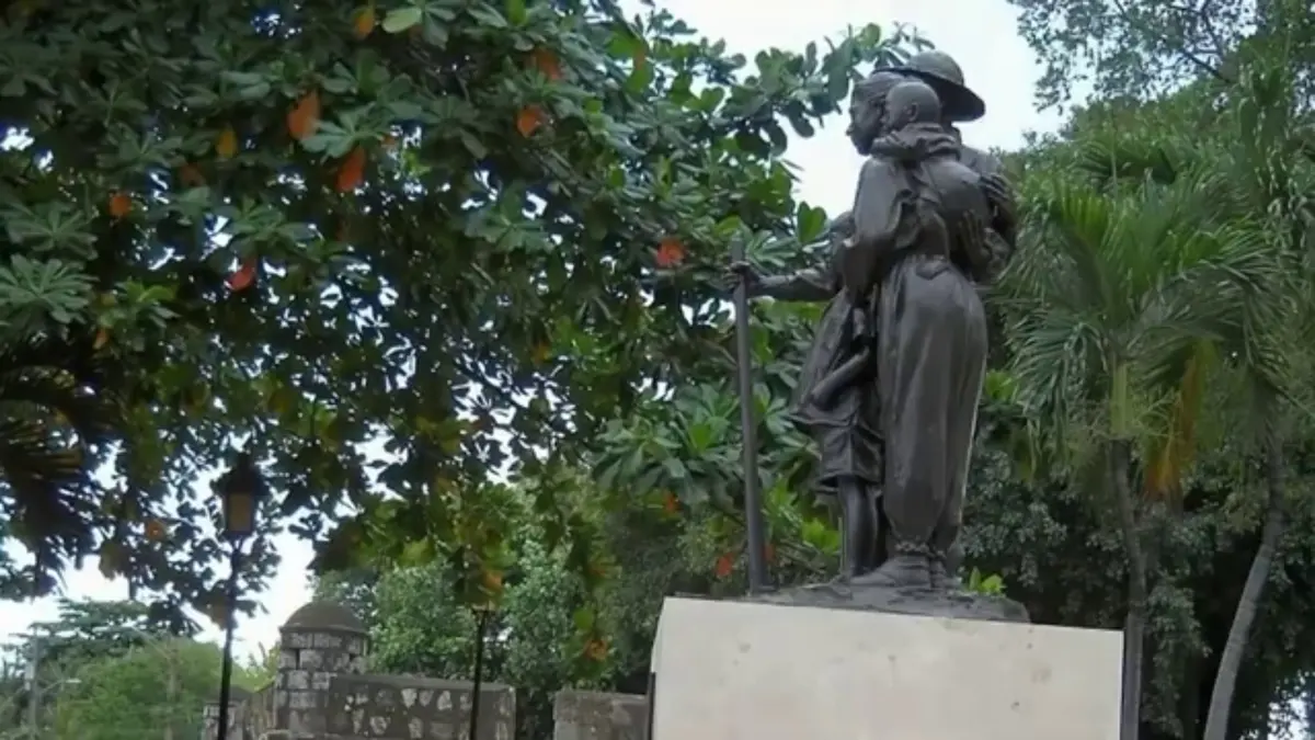
Dajabón, known as “where the homeland begins”, is a vital city on the northwestern border of the Dominican Republic. Founded in 1776, its name comes from the Taíno word Dahaboon.
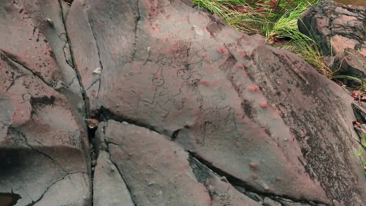
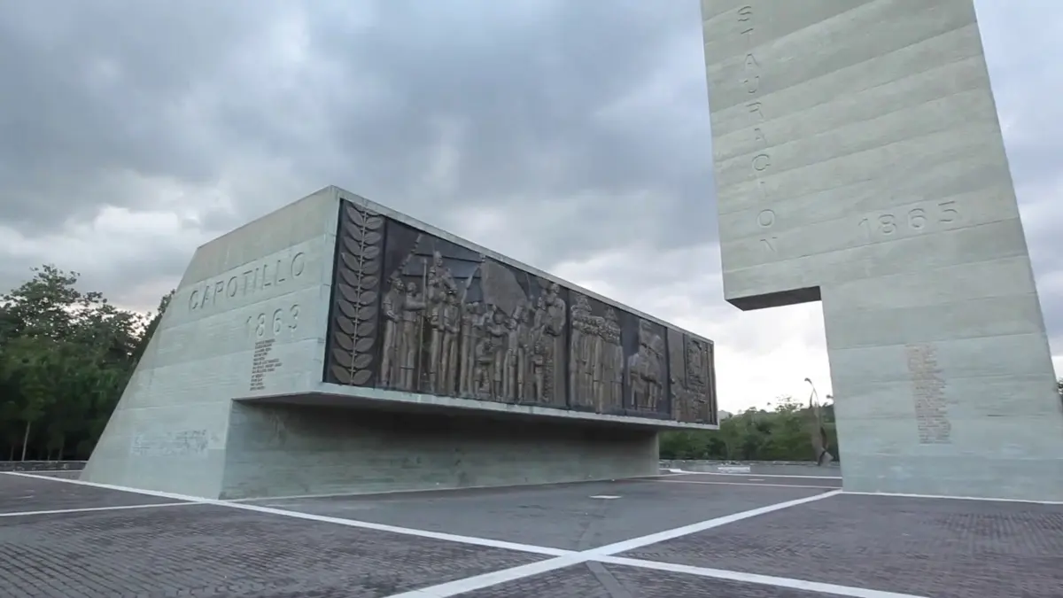
Land of heroes: Dajabón was the scene of the Battle of Beller (1845), the Cry of Capotillo (1863) and the Restoration War. Its Taíno petroglyphs on the Chacuey River have been a National Monument since 1969.
Binational Market
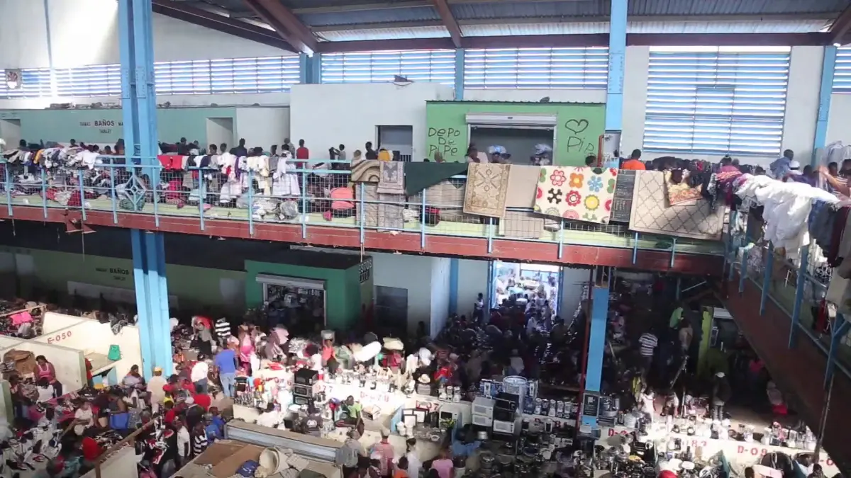
One of the most important border markets in the Caribbean. Every Monday and Friday, thousands of Dominican and Haitian merchants exchange goods in a unique cultural spectacle.
La Vigía Japanese Colony
The first colony of Japanese immigrants established in the Dominican Republic. A living testament to Dominican cultural diversity and the history of 20th-century migration.
Municipalities
- Dajabón (provincial capital)
- Loma de Cabrera
- Partido
- Restauración
- El Pino
Getting there
About 4.5 hours from Santo Domingo and 2.5 hours from Santiago. Accessible by road (Duarte Highway) and by bus from Santiago.